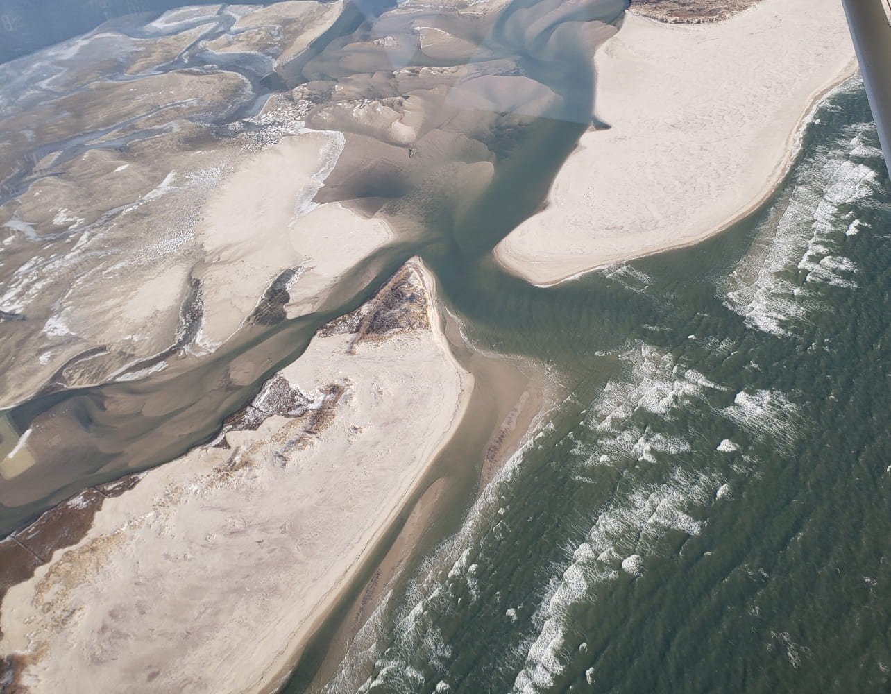
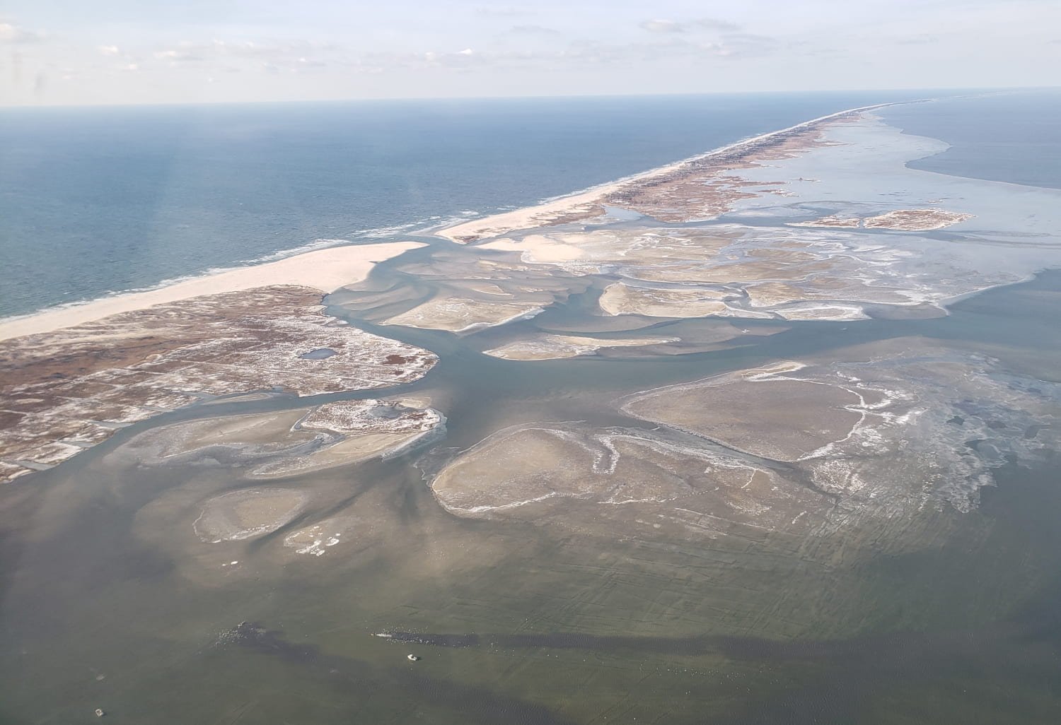
Below is an excerpt from the February 2022 report by Dr Charles Flagg in regards to the breach at the old inlet:
Dr. Charles Flagg took another flight over the Breach at Old Inlet on Fire Island on February 16, 2022. The flyover mosaic is available below. Dr. Flagg conducted the flight after noticing that the salinities at Bellport Bay were low and he was curious if the Breach had closed. The flight took place around 9AM, about 1.5 hours past high tide in the ocean. He noted that there is an interesting amount of dry land in the flood delta.
This following is an excerpt from the October 2021 report from Dr Charles Flagg regarding the breach at the old inlet:
Below are two oblique photos of the breach taken yesterday, November 3rd, by Rich Giannotti. Rich has been part of the breach monitoring effort from the very beginning and has provided much support and the occasional important photos of the breach. These latest photos taken near a spring low tide show an extensive ebb (offshore) delta that has developed over the past few months. Hints of its development have shown up in March (see John Vahey’s photos) and in some of the high altitude, ~4000 ft, photos taken earlier this year but Rich’s beautiful photos provide an update and much more detail. (The photos are up on the project website, http://po.msrc.sunysb.edu/GSB/.)
The full report is available here.
Additionally, here is video of a fly over of the area in late October 2021, by Mike Busch
The full article by Mike is available via www.fireislandandbyeond.com.


